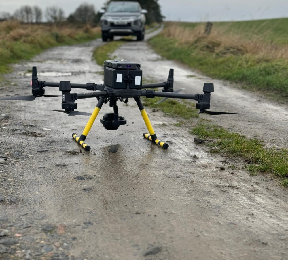
How Can Drones Help Your Project?
Do you have locations requiring surveying that are either inaccessible by foot or present safety hazards?
We carry out a range of surveys using drones, including topographic / land surveys and quarry surveys
All of our drone pilots are licensed and certified by the Central Aviation Authority (CAA), having undergone proper training and examinations to fly a drone for commercial purposes.
- Faster data collection
- Cost effectiveness
- Safer access to previously inaccessible or hazardous areas
- High resolution images that allow for more accurate surveys
- Ability to capture images from angles that are not possible to take from the ground
- Large areas can be covered quickly
- More accurate volume measurements
- Operations on site won’t be interrupted


